Tuesday, 7 May 2013

Middle of nowhere - Julia Creek  -  Hot and Sunny    Temp High 32C  Low 16C   Distance - 308km

Sunrise at Free Camp 50k West of Mt Isa

The nights are quite a bit cooler now which is good.  We left the free camp and travelled to Mt Isa which is an important mining town - mining both lead & copper.  We spent a couple of hours having a look around the town.


Monument to the Miners
 

Mount Isa with mine in the background
For years the lead had to be transported by camel &  bullock cart to Cloncurry to be transported to the coast by train.  Eventually the railway was extended out to Mount Isa.


The next town we came to was Cloncurry - the birthplace of The Flying Doctor.


The Flying Doctor

Lunch at Cloncurry


A Change in the scenery

Softer scenery
 
 
We stopped for the night at Julia Creek, a small town which has a long history in the cattle industry. 


Julia Creek Dirt n Dust Triathlon
We stayed the night at the Julia Creek Caravan Park.  The caravan park was basic but clean and spacious and run by lovely country people.  It had a lovely relaxed atmosphere.  The local council pool is next door for anyone who wished to use it.

The main street of Julia Creek
 

Shady canopies down the centre of the main street
 
One of the local pubs
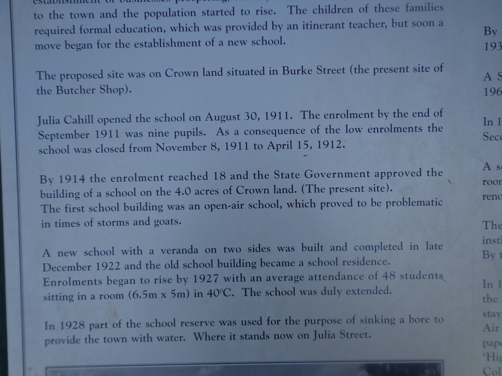
Julia Creek has a very comprehensive Vistor Information Centre presenting the facinating history of the small town.  The town is a credit to the locals and in particular the local council maintenance man - there were colourful bouganvilleas everywhere and the whole town centre was beautifully maintained and cared for.


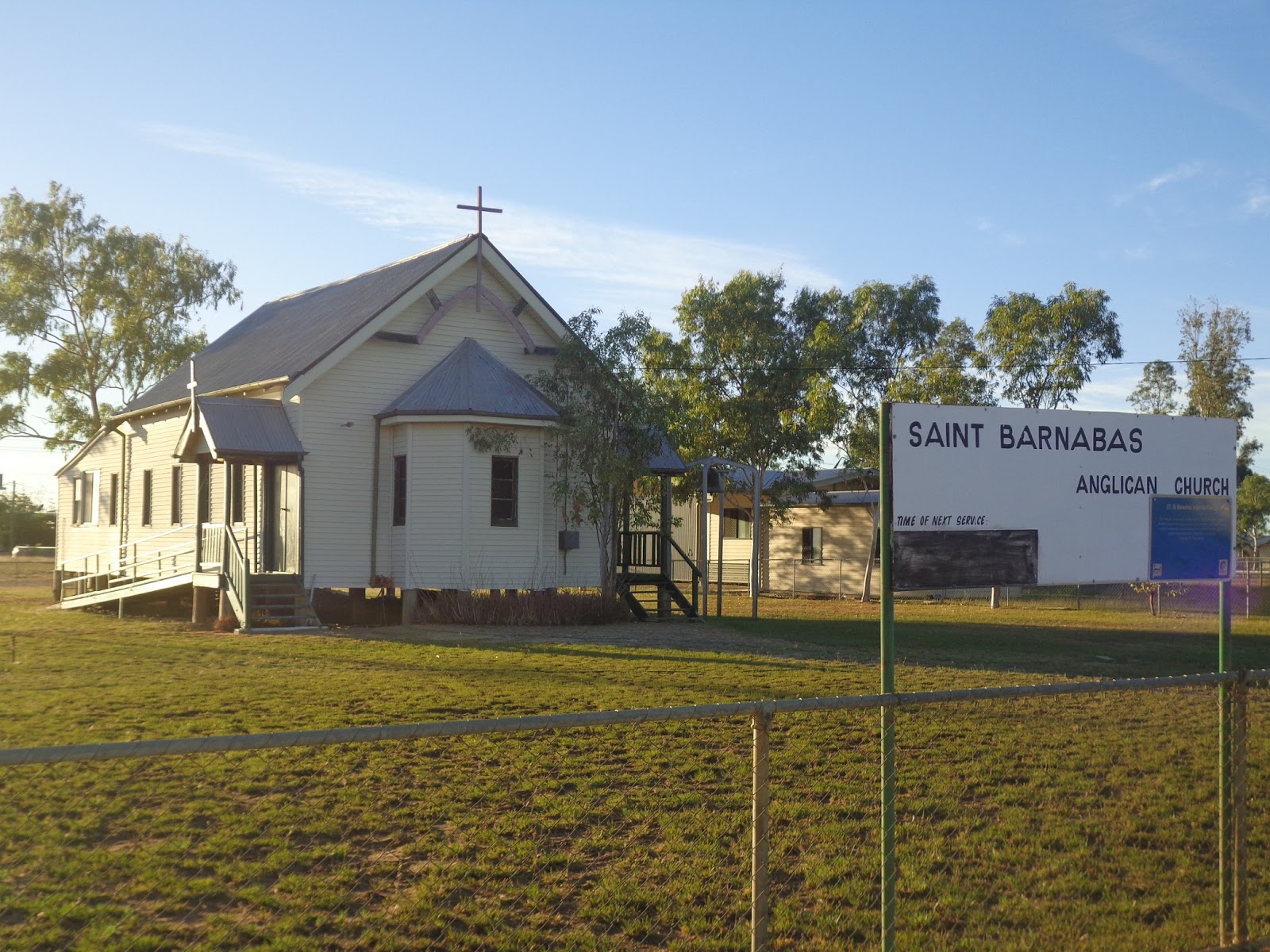
St Barnabas Church


I got quite a shock when I got into the shower (in the caravan) - I turned on the water intending to wash my hair and the water was very, very hot!  I confirmed that the hot water tap was turned off and only the "cold" water was running but it was too hot to get under!  The next morning we were talking to the manager and he mentioned the Artestian Basin which provides the water for Julia Creek - the water comes out HOT.  He pointed to the coils of pipe under the cabins - an attempt to cool the water before it goes into the cabins!  Not such facility in our caravan!!  He told us that the water often comes out of the tap at 45C.

(This happened to Steve on our trip through the Gulf Country last November, (he thought the water was connected to the wrong taps) but that was nothing to do with artesian bore water - that was just because it was so hot that the "cold" water was hot)!!!

The Great Artesian Basin is huge and extends right down to South Australia  - see below.........


Hot cold water


Monday, 6 May 2013

Attack Creek - Three Ways - NT/Qld Border -   Hot & Sunny   Temp   34C          Distance - 635km

Miles and miles of remote straight roads once again.  Headed down to theThree Ways where we refuelled then headed east along the Barkly Highway towards the Northern Territory / Queensland border.  The landscape is not so barren - more grass & trees and a lot softer terrain. Lots of roadtrains and quite a few caravans heading north to warmer climes.


More remote straight roads


A Bar at the Three Ways Roadhouse
dedicated to the Roadtrain drivers
with pictures, number plates etc.

Barkly Roadhouse


As we travelled along we notice some cattle being mustered - the jackaroos (and jillaroos) were attempting to move a herd of cattle across the highway into a paddock on the other side.  As you will see from the pics below - there were a few runnaways that needed chasing!


The one that tried to get away!!


Yeah!  Back home in Queensland - only 2327km to go to Cooroy!


At one point on the side of the road we saw what looked like the remains of a caravan - the winds are very strong sometimes across the open plains - you can feel them buffeting the van.  We are pleased that we have a heavy 4x4 to tow it.

Just after we crossed the border we arrived at Camooweal where we refuelled before driving on towards Mount Isa, an important mining town.


We stopped for the night at another free camp on the side of the road about 50km west of Mount Isa.  There were a couple of caravans and some campervans already there.  It was a WWII site that they used when building a new road to enable them to move transport and machinery up to Darwin when the Japanese threat to Northern Australia became more apparent.  No water, no power but there was a bbq.

Terry catching up on the News\
 

WWII  free camp

WWII free camp


Sunday, 5 May 2013

Katherine - Three Ways  - Sunny and Hot with Blue Skies     Temp 34C      Distance - 600km

Up early to start the long journey south along the Stuart Highway which connects Darwin to Adelaide straight down the middle of Australia through Alice Springs and Coober Pedy.  We however were not going that far - we would be turning left (east) at Three Ways heading for the Northern Territory/Queensland state border.  From there we would travel to Camooweal and Mount Isa.

Once again again we travelled on a remote highway but we noticed more caravans on the road  heading north now that the weather was starting to cool down south.

We stopped for the night just before the Three Ways at Attack Creek, a free camp beside the road.  There were about a dozen caravans and some campervans staying there too so quite safe and very social!  At night the stars look so bright in the clear sky with no lights to interfere with their brilliance.  It is quite spectacular.
Long straight remote roads


Daly Waters Roadhouse
 

Roadhouse

 
Monument to explorer John Stuart & his party
 
 
Monument to a Mounted Constable


Attack Creek Free Camping
(Our caravan on the left)


Saturday, 4 May 2013

Katherine - Once again Hot & Sunny with Blue skies.                       Temp  34C distance - 340km

 We drove back from Darwin to Katherine booked into the same caravan park and then took a cruise through the famous Katherine Gorge.  Stunning scenery as you will see from the pictures below.  The water level at the moment is lower than usual due to the low rainful in the Wet Season this year so after cruising the first gorge, we had to walk 600m across the rocks to the next gorge and a second boat.

The Katherine Gorge is home to a number of fresh-water crocodiles. However the Katherine River flows 280km all the way to the Timor Sea so occasionally large salt-water crocodiles swim up into the gorge and the park rangers catch them in traps and relocate so that the gorge can be used safely for swimming and canoeing etc.  They have  various methods of locating the "salties" including placing a red rubber buoy attached to a rope on the water.  Salties are inquisitive and will bite anything floating on the surface of the water so the rangers can tell by the teethmarks if the salties are around.

The following pictures were all taken cruising through the Katherine Gorge..............


At times the water level after a good Wet Season
reaches the lower of the top branches of this tree


Croc Trap set by Rangers

Before leaving Katherine, we visited Knotts Crossing - a pretty area close to the centre of Katherine.


Knotts Crossing
(The Katherine River)


All ready to hit the road leaving Katherine